No products
Cartography There are 480 products.
-
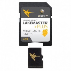
Humminbird LakeMaster Plus - Mid Atlantic...
Humminbird LakeMaster Plus - Mid Atlantic States - Version 2
$110.67Out of stock -
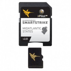
Humminbird SmartStrike - Mid-Atlantic...
Humminbird SmartStrike - Mid-Atlantic States - Version 2.0
$147.63Out of stock -
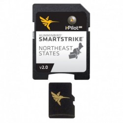
Humminbird SmartStrike - NorthEast States...
Humminbird SmartStrike - NorthEast States - Version 2.0
$185.53Out of stock -
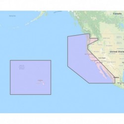
Furuno U.S. West Coast, Hawaii & Baja...
Furuno U.S. West Coast, Hawaii & Baja Mexico - Vector Chart, Standard Resolution Satellite Photos f/Baja Mexico - Unlock Code
$274.51Out of stock -
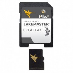
Humminbird LakeMaster - Great Lakes -...
Humminbird LakeMaster - Great Lakes - Version 4
$96.00Out of stock -
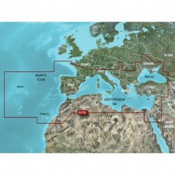
Garmin BlueChart g3 Vision HD - VEU723L -...
Garmin BlueChart g3 Vision HD - VEU723L - France - microSD /SD
$349.99Out of stock -
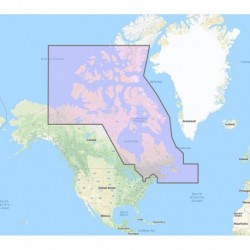
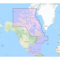
Furuno Canada North & East - Vector...
Furuno Canada North & East - Vector Charts, 3D Data & Standard Resolution Satellite Photos - Unlock Code
$274.51Out of stock -
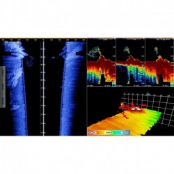
Nobeltec TZ Professional DFF3D Module -...
Nobeltec TZ Professional DFF3D Module - Requires PBG Module
$1,098.04Out of stock -
Furuno US & Canada Atlantic Coast, Gulf of...
Furuno US & Canada Atlantic Coast, Gulf of Mexico, Caribbean Bahamas and central America Vector Charts - Unlock Code
$549.01Out of stock -
Humminbird LakeMaster Chart - Midsouth...
Humminbird LakeMaster Chart - Midsouth States V5
$96.00Out of stock -
Humminbird LakeMaster Chart - Quebec V1
Humminbird LakeMaster Chart - Quebec V1
$120.59Out of stock -
Humminbird LakeMaster Chart - Southeast...
Humminbird LakeMaster Chart - Southeast States Version 5
$96.00Out of stock -
Humminbird LakeMaster PLUS Chart -...
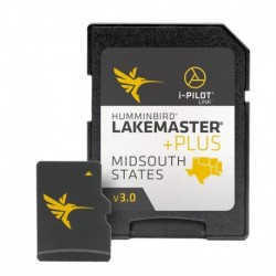
Humminbird LakeMaster PLUS Chart - Midsouth States V3
$110.67Out of stock -
Humminbird LakeMaster Plus - Southeast -...
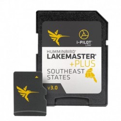
Humminbird LakeMaster Plus - Southeast - Version 3
$110.67Out of stock -
CMOR Mapping East Gulf of Mexico f/Raymarine
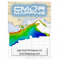
CMOR Mapping East Gulf of Mexico f/Raymarine
$570.00Out of stock -
CMOR Mapping Florida Middle Grounds...
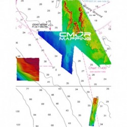
CMOR Mapping Florida Middle Grounds f/Raymarine
$132.00Out of stock -
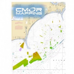
CMOR Mapping Georgetown & Cape Lookout...
CMOR Mapping Georgetown & Cape Lookout f/Simrad, Lowrance, B&G & Mercury
$570.00Out of stock -
-
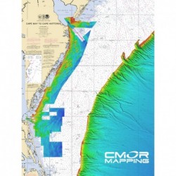
CMOR Mapping Gulf of Maine f/Simrad,...
CMOR Mapping Gulf of Maine f/Simrad, Lowrance, B&G & Mercury
$570.00Out of stock -
-
-
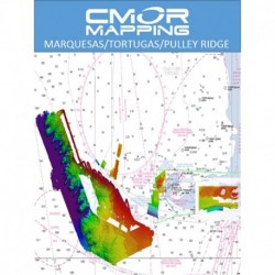
CMOR Mapping Marquesas, Tortugas, Pulley...
CMOR Mapping Marquesas, Tortugas, Pulley Ridge f/Simrad, Lowrance, B&G & Mercury
$570.00Out of stock -
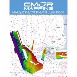
CMOR Mapping Marquesas, Tortugas, Pulley...
CMOR Mapping Marquesas, Tortugas, Pulley Ridge f/Raymarine
$132.00Out of stock -
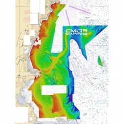
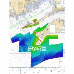
CMOR Mapping Long, Block Island Sound &...
CMOR Mapping Long, Block Island Sound & Martha' s Vineyard f/Simrad, Lowrance, B&G & Mercury
$570.00Out of stock

