Cart
0
Product
Products
(empty)
No products
To be determined
Shipping
$0.00
Total
Product successfully added to your shopping cart
Quantity
Total
There are 0 items in your cart.
There is 1 item in your cart.
Total products
Total shipping
To be determined
Total
 View larger
CMOR Mapping Marquesas, Tortugas, Pulley Ridge f/Raymarine
75679
75679
New product
CMOR Mapping Marquesas, Tortugas, Pulley Ridge f/Raymarine
More info
Marquesas, Tortugas, Pulley Ridge for Raymarine
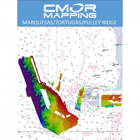
The Tortugas/Marquesas/Pulley Ridge CMOR mapping card combines extensive coverage of the Marquesas Keys, the Dry Tortugas, Pulley Ridge and the rarely fished Florida Canyons.
- 434 square miles around the Marquesas with depths ranging from 1' in the Quicksands to 330' in the deep holes south of the Marquesas Rock
- 4,076 square miles in the Florida Canyons area with depths ranging from 1,000' in red to 11,200' in purple
- 250 square miles on the west side of Dry Tortugas with depths ranging from 35' in red to 890' in purple
- 150 square miles covering pulley ridge and the surrounding grounds to the west from 130


