Cart
0
Product
Products
(empty)
No products
To be determined
Shipping
$0.00
Total
Product successfully added to your shopping cart
Quantity
Total
There are 0 items in your cart.
There is 1 item in your cart.
Total products
Total shipping
To be determined
Total
 View larger
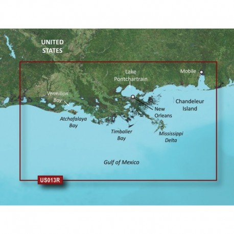
Garmin BlueChart g3 Vision HD - VUS013R - Mobile - Lake Charles - microSD /SD
30370
30370
New product
Garmin BlueChart g3 Vision HD - VUS013R - Mobile - Lake Charles - microSD /SD
More info
BlueChart® g3 Vision® HD - VUS013R - Mobile - Lake Charles - microSD™/SD™
Coverage:
Mobile, AL through Calcasieu Lake, LA, including New Orleans, the Mississippi River Delta, Lake Ponchartrain and Lake Maurepas, over to Vermilion Bay.
Premier Coastal Navigation Charts
- Provides industry-leading coverage, clarity and detail with updated coastal charts that feature integrated Garmin and Navionics® data
- Auto Guidance¹ technology uses your desired depth and overhead clearance to calculate routes and show a suggested path to follow
- High-resolution relief shading combines color and shadow to give you an easy-to-interpret, clearer view of bottom structure than contour lines alone
- Depth Range Shading provides up to 10 depth ranges, enabling you to view your target depth at a glance
- Up to 1


