Cart
0
Product
Products
(empty)
No products
To be determined
Shipping
$0.00
Total
Product successfully added to your shopping cart
Quantity
Total
There are 0 items in your cart.
There is 1 item in your cart.
Total products
Total shipping
To be determined
Total
 View larger
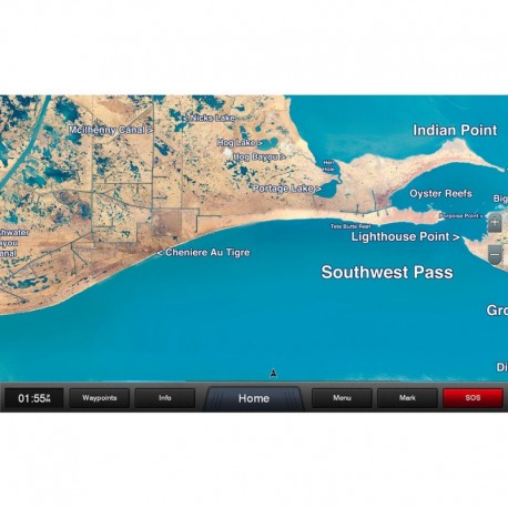
Garmin Standard Mapping - Louisiana West Classic microSD /SD Card
75827
75827
New product
Garmin Standard Mapping - Louisiana West Classic microSD /SD Card
More info
Standard Mapping® - Louisiana West Classic microSD™/SD™ Card
Statewide coastal aerial overlay provides high-resolution imagery and local names of waterways and land features.
High-resolution Aerial Imagery
Replaces the basemap so you can see every waterway and land feature.
High-definition Offshore Mapping
High-contrast offshore elevation shading allows you to easily see detail.
Local Names
Identifies local waterways and land features.
 WARNING: This product can expose you to chemicals which are known to the State of California to cause cancer, birth defects or other reproductive harm. For more information go to P65Warnings.ca.gov.


