No products
 View larger
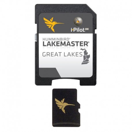
Humminbird LakeMaster - Great Lakes - Version 4
67939
67939
New product
More info
LakeMaster Great Lakes - v4 - microSD™
The Humminbird LakeMaster Great Lakes Edition, Version 4 micro map card has added over 140 new lakes, 50 High Definition waters to now boast contours for a total of over 1540 lakes with more than 380 lake maps in High Definition for Michigan, Indiana, and Ohio.
Featuring:
- Updated shallow water areas for Lake Michigan and parts of Lake Superior
- Full coverage of Lake Superior
- All of Lake Huron (now including Georgian Bay)
- Beaver Island on Lake Michigan in High Definition
- New High Definition Survey of Lake St Clair (including the Canadian side)
- Updated the St. Clair River High Definition survey (including the Canadian side)
- Updated the Detroit River High Definition survey (including the Canadian side)
- High Definition survey of Syracuse, Kosciusko in Indiana
- High Definition survey of Wamplers, Lenawee in Michigan
- High Definition survey of Portage/Torch, Houghton in Michigan
- High Definition survey of Lower Grand and Spring Lake in Michigan
Also with the Great Lakes Version 4 micro SD map card you enjoy all of the LakeMaster features including the following:
- i-Pilot® Link™ compatible
- Easy to read contours
- Depth Highlight Range
- Water Level Offset
- Shallow Water Highlight
- Scrollable Lake List
- Find more info about i-Pilot Link here.
NOTE: The Great Lakes product no longer includes Kentucky and Tennessee lakes. See the LakeMaster SouthEast Edition products for lakes in these states.
 WARNING: This product can expose you to chemicals including Naphthalene which is known to the State of California to cause cancer. For more information go to P65Warnings.ca.gov.


